
- ✔ FAA Part 107 certified pilots
- ✔ Fully insured
Aerial Mapping & Survey-Style Imagery
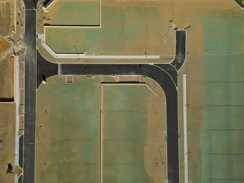
See your whole site at once. Overhead mapping imagery helps you plan, document, and communicate with everyone involved.
A complete overhead view
We fly planned, overlapping patterns to capture an entire site from above and produce overhead mapping imagery: a clear, top-down picture of land, structures, and features that's easy to share and compare over time.
Common uses
- Site planning and pre-construction overviews
- Land and acreage documentation
- Tracking changes on a site over time
- Visual reference for owners, designers, and contractors
An important note
Our mapping is survey-style imagery for visual planning and documentation. We are not a licensed land surveying firm, and our imagery is not a substitute for a survey by a licensed surveyor. If your project needs certified boundaries or survey-grade accuracy, a licensed surveyor should provide it, and our imagery can still support the visual side of the project.