
- ✔ FAA Part 107 certified pilots
- ✔ Fully insured
Drone Roof Inspections & Construction Aerial Photography in Shady Cove, OR
FAA Part 107 certified and fully insured drone services for homeowners, contractors, and property managers in Shady Cove and across Jackson County.
Local Drone Services
Roofs and job sites in Shady Cove
Shady Cove sits on the upper Rogue River along Highway 62, with riverfront homes, cabins, and rural lots.
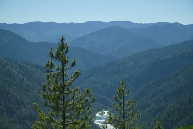
Shady Cove lines the upper Rogue River along Highway 62, the route toward Crater Lake. Riverfront homes, cabins, and rural lots are common, often under big trees. That means more needles and shade on roofs, more moss, and gutters that fill fast, plus summer smoke in fire years and the occasional winter snow event.
Riverfront and tree-covered properties can be tricky to inspect from the ground and sometimes from a ladder. A drone gives a clear top-down view of the roof and the property around it. For listings, aerial photos are often the best way to show the river frontage, the trees, and how a home sits on its lot.
Common projects in Shady Cove
- Riverfront homes and cabins
- Moss and needle buildup under heavy tree cover
- River-frontage aerial photos for listings
- Post-winter roof checks
Our FAQ covers weather, airspace, and deliverables.